Scandinavian Mountains over 2000 metres - James Baxter
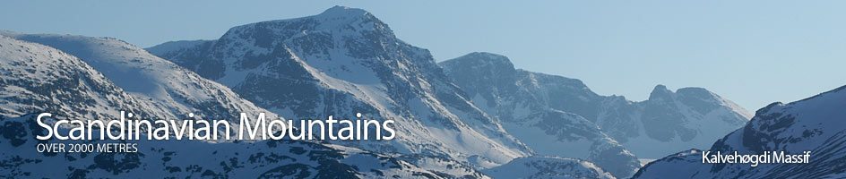
Areas › Kalvehøgdi Massif › Walking Routes › Ka.2
| Ka.2 | Valdresflya Vandrerhjem Hostel to Torfinnsbu lodge |
|---|---|
| 4-5 hours / 15km 80m |
A marked path in the summer and a ski route marked with twigs in the spring. |
Leave Valdresflya Vandrerhjem and start to head westwards across the open tundra of the Valdresflye plateau. The marked path heads off in a south west direction weaving through small tarns for a flat 2 km. After this flat section the path starts to descend down a flat slope. To the west are the long gentle slope of Rasletind while to the south is the steep knoll of Øystre Fagerdalshøe. As you approach this knoll the path veers to the west of it and then enters the flat valley between it and Rasletind.
The floor of this valley is marshy and riddled with small streams and stunted scrub. Luckily the path avoids this and keeps on the lower slopes of Øystre Fagerdalshøe. After skirting the west side of this knoll and a good 1½ hours after leaving Valdresflya Vandrerhjem the path forks. The south fork is Ka.3 and this continues for another 1½ hours to Bygdin Fjellhotel lodge. Our path continues south west down the valley.
About a km after the fork the boggy path veers towards the stream an crosses it. This crossing is usually no problem. Thereafter the path continues for another wet km crossing some becks and forcing through small willow scrub until it arrives at a larger stream, the Vestre Repefonnbekken.
After you have crossed this stream the terrain becomes drier as you descend down the 2 km between hillocks to the shoreline of Bygdin lake where you meet the marked path Ka.1 from Bygdin Fjellhotel lodge to Torfinnsbu lodge. Follow this path now west along the shore for a km to reach the summer farm or seter at Hestevollen. On this final stretch the willow scrub and damp terrain return.
Just to the west of Hestevollen the path crosses a temporary bridge over a stream and then bashes through willows for another ½ km until it meets meet another stream, the Kalveåne. This stream is unbridged but it is usually easy to jump it.
From this stream the path now follows the shoreline under the steep slopes of Nordre Kalveholotind for another hour. During this stretch it might be easier to plod through the loose pebbles on the shore rather than undulate through the scrub if the water level is not too high. After rounding Nordre Kalveholotind Torfinnsdalen starts to appear you reach the larger torrent of the Torfinnsdøla stream. Luckily this is bridged. Just beyond the bridge is the idyllic Torfinnsbu lodge.
During the winter/spring this route is a marked ski path. The time to cover the distance will be less depending on which direction you are going. As Bygdin lake is a hydro reservoir the level may vary and there may be water on the ice during the spring. In this case the ski route does not go over the lakes surface but along the shore. Torfinnsbu lodge is closed during the entire winter/spring period.