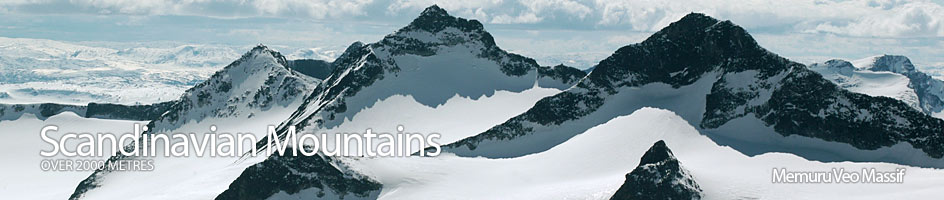
Scandinavian Mountains over 2000 metres - James Baxter
Areas › Memuru Veo Massif › 11.1 Surtningssui (2368m)
Surtningssui is said to have one of the best views in Jotunheimen. Having seen it I do not doubt it. In addition to this it does not involve any scrambling or climbing. The route is well marked and follows the delightful yet spectacular Memurudalen Valley with the lovely Memurubu lodge, idyllically sited in a verdant oasis, as the ideal starting point for this long day tour. In the spring it is possible ascend Surtningssui on skis, but the steeper section often has a scant covering of snow. As such Surtningssui is recommended as a summer tour which is even suitable for those with no scrambling experience.
| The Route from Memurubu Lodge | |
|---|---|
      |
|
From Memurubu Lodge the path follows the north side of the Muru River. It is imperative to be on the north side as it is not possible to cross this river higher up. This well defined path rises up through verdant and flower-filled forests for 3 km before emerging onto a broad river valley for a further 5 km. This broader area is also quite fertile and it is not unusual to encounter a herd of reindeer grazing here. During these 8 km the ascent is quite gentle and the terrain only rises 400m altogether.
After 8 km the 250m cliffs of Reinstind are clearly visible 1 km away in the west. At this point the path leaves the main valley and heads north east up the Surtningssuibekken stream. In the first instance the path is reasonably steep but once it climbs out of the main valley into this side valley is gentle again. Again the path follows up on the right hand side (east) of the stream for a further 1 km until it reaches an altitude of 1600m. Just beyond here the Surtningssuibekken stream valley completely flattens out. At this point the path leaves the Surtningssuibekken stream and turns due east for a further ½ km while continuing to rise moderately, until you find yourself at the foot of the south-western flank of Surtningssui itself.
At the foot of the south-western flank the path heads north-east and initially goes straight up for a further ½ km with a steepening incline, until it reaches the base of a steep section. Here, another path comes into view. This path is an alternative ascent up Surtningssui from Hestdalen Valley, and although tempting should not be followed. The route now follow a path where you know it should be but hope otherwise and zigzags up the steep scree for a ½ km during which it ascends 200m. However this steep incline is short lived and you will soon find yourself on the summit plateau.
Once at the top of the steep incline and on the summit plateau the path continues north east for a another ½ km up a moderate incline with easier small scree to a false top. From this false top the route veers east for another ½ km but now gentle incline to the main summit at 2368 m. Care must be taken not to go too close to the eastern edge of the summit cornice while marvelling at the view, as it may be overhanging a 150m vertical drop to the glacier below.
The return journey is by the same route.