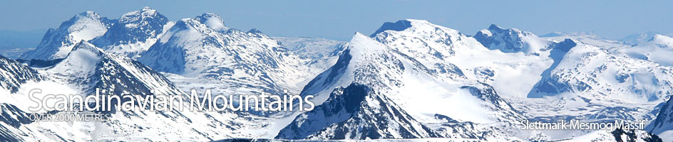
Scandinavian Mountains over 2000 metres - James Baxter
Areas › Slettmark Mesmog Massif › Galdeberget › Alternative Routes
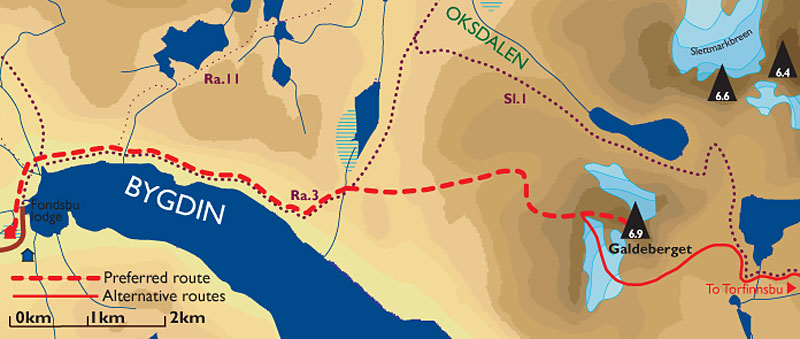 The southern and northern flanks are very steep, inaccessible or glaciated and there is little scope to climb Galdeberget from these sides. However, from the west and east faces there are two routes up the mountain.
- The popular and unproblematic route up the west side from Fondsbu lodge. This route is described on the main page.
- The glaciated route up the East Face from Langedalen and Torfinnsbu lodge. This is a rarely used route and involves ascending a glacier. It would be a good route for experienced parties with the necessary equipment to go from Torfinnsbu to Fondsbu lodges as a chellenging alternative to the marked path Sl.1
East Face Route
Leave Torfinnsbu lodge and follow the path Sl.1 towards Fondsbu lodge for 3 hours or 9 km until you are on the west side of the largest of the Gladebergtjerna tarns at 1507m.
 Leave the path here and go round the northern flank of the knoll 1585m and across the stony tundra heading towards the glacier on the east face, and the stream tumbling from it. As you approach the snout of the glacier the terrain becomes more bouldery and then slabby at the edge of the glacier.
Rope up here and start heading up the glacier in a northerly direction towards the saddle. After a ½ hour of heading up the glacier it starts to steepen to about 40 degrees. Indeed in the early summer it will be steeper and may even have a cornice. At the top of this steeper section you step onto the stones of the saddle.
Once at the saddle head east up the west ridge for an easy ½ hour to the summit. In poor visibility be wary of the corniced cliffs on the south side of this final summit ridge.