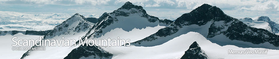
Scandinavian Mountains over 2000 metres - James Baxter
Areas › Memuru Veo Massif › 11.5 Leirhøi (2330m)
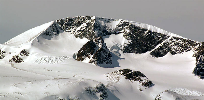
Leirhø, 2330m, is one of Jotunheimen's giants. It dominates the northern end of a 20 km ridge that never once drops below 2000 metres for its entire length. For its position and stature it is surprisingly non-alpine and only boasts one vertical face. The summit is a rounded plateau half covered in scree and the other half covered in a ice cap which flows into a small glacier.
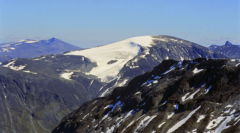
| The Route from Spiterstulen Lodge | |
|---|---|
      |
|
Leave Spiterstulen lodge and follow the path south up Visdalen for two km until you pass a rocky buttress rising 60 metres on the east side. Continue past this buttress for a ½ km and then turn south east diagonally across scrub slopes for a km until you reach the Leirgrovi stream. Cross this stream and follow south bank for up to ½ km across grass and boulders until the terrain steepens. This is the start of the climb which endures for 800 metres.
 Start climbing this slope keeping to the south of the stream. Soon the grass disappears altogether and boulders dominate the terrain. After 100 metres of ascent the terrain eases and it is best to leave the stream and start to follow the crest of a ridge which starts to form on the south side between the gully and Visdalen valley. This ridge is not as steep or as unstable as the Leirgrovi gully and the going is easier. There is often a large snowfield here until mid summer and this could be used.
After climbing up the ridge for 300 metres of ascent at 35 degrees the gully, which should be 300 m to the north, and the ridge become separated by a ridge of moraine (lateral). Keep to the south of this moraine ridge and continue south east, initially across a less steep couple of hundred metres and then, up a steeper section of less stable boulders for ½ hour.
At the top of this steeper section you at last arrive on the west ridge and some views begin to develop. This ridge is a 200 metre wide ramp initially. On the north is a steep drop down to the glacier, which you have now climbed above, and to the south are steep scree slopes down to Heillstugudalen valley. This ramp is generally covered in stable stones and after the previous 600 metres the going is easy and pleasant. The ramp continues up south east and after a km you reach the southern edge of the glacier. Follow this southern edge south east up for another km in easing terrain to the summit cairn.
 The descent is by the same route. If you are lucky enough to see Bukkehø head towards it in order to locate the west ridge again. In the early summer there may still be lingering snowfields down some of the descent to ease the way over the boulders. Some of these are steep enough to warrant an ice axe, especially if the snow is hard.
If you intend to go up Spiterhø also then descend to where the moraine (lateral) ridge separates Leirgrovi gully from the west ridge. Cross over this ridge and pass under the snout of the glacier. Head north east between the snout of the glacier and an much bigger moraine (terminal) ridge up a moraine filled valley for ½ km. At the end of this valley veer north over the much diminished moraine ridge and head north across stones for ½ km to reach the saddle and the short climb to Spiterhø. It is easier, if you are equipped and the visibility good, to descent the glaciated north ridge down to the saddle with Spiterhø.