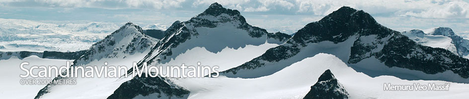
Scandinavian Mountains over 2000 metres - James Baxter
Areas › Memuru Veo Massif › Leirhøi › Alternative Routes
Leirhø can be ascended by three routes. Unfortunately two of them involve relentless slogs up 800 metres of boulders, while the third is across a glacier with some crevasses in one section. The simplest ascent, and the one I have described in detail below, is up one the boulder slogs. This is up the open Leirgrovi gully. The other boulder slog, via Veoskardet saddle, and the route over the glacier on the north ridge from the saddle with Spiterhø, I describe here.
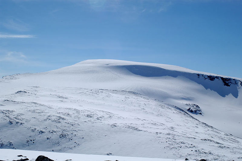 To ascend Leirhø from Veoskardet head up Visdalen then Heillstugudalen valleys from Spiterstulen. Just before you reach the Heillstugubreen glacier head east up the steep boulder covered slope to Veoskardet saddle. This part of the route is described under M-V.7. As you approach Veoskardet saddle do not go up towards it but veer north into a boulder filled ill-defined valley which although also steep, offer some respite from the previous 400 metres ascent. As you enter this smaller valley the final slope up Leirhø appears to the north. It is easiest to keep heading north when in this valley to avoid the steep boulder slope ahead and ascend a ridge to the west of this. Ascend this ridge for 200 metres in height before the gradient eases and the stone covered summit plateau is reached. Continue north for ½ km to reach the summit cairn bordered on one side by a flat glacier and a massive drop on another. The descent is by the same route or one of the others described here. Round trip from Spiterstulen is 7-9 hours depending on return route.
The route from the saddle with Spiterhø can either head south across moraine for a slow km losing 100m in height to the top of the Leirgrovi gully where it then ascends the west ridge as described below. Alternatively you can head east up easy stable moraine for a long km to reach the top of knoll 2077m. From here head further east for 200 metres (to avoid dropping down to the glacier) before veering south east and ascending easy slopes for a km to arrive at the eastern edge of a plateau where there is a stunning view over the Veobreen glacier to Veotind and beyond. This is were the glacier starts and for the next km it is followed in a southerly direction up a steepening slope with a couple of small crevasses across it. None the less glacial experience and equipment are necessary. Past the small crevasses the slope flattens out onto the summit plateau and the summit is just ½ km further south. For the entire 1½ km journey up the glacier the east side is fringed with huge cliffs. In the spring there are vast overhanging cornices over this drop and a good distance should be kept. In poor visibility this stretch is hazardous and exposed.