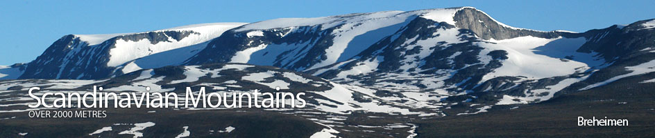
Scandinavian Mountains over 2000 metres - James Baxter
Areas › Breheimen › 15.9 Midtre Holåtind (2047m)
Midtre Holåtind, 2047m, is the middle of the three Holåtinds. The entire west and south side of Midtre Holåtind is covered in a large glacier that flows into a lake, calving icebergs as it melts to a halt. This glacier and the saddle it has carved separates Vestre Holåtind from Midtre Holåtind. The north side is covered in the huge Gjelåbreen glacier. Indeed, even the east side is covered in a glacier leaving only the east ridge and the south east ridge as glacier free ascent routes.
| The Route from Trulsbu Cabin | |
|---|---|
      |
|
Leave Trulsbu cabin and head west up Vesldalen across the flats, keeping on the north side of the stream. After about 1 km start to climb up for a further one km until you are on the massive boulder filled plateau about one km to the north of Lake 1431m. From this huge area of glacial debris the saddle between Austre and Midtre Holåtind should be visible to the north west at a distance of about 1 ½ km. It is a simple clamber across this moraine for 1 km in the direction of the saddle until the boulders become thinner and abrasive bare rock slabs appear for the last ½ km when the gradient increases up to the saddle.
At the saddle itself, which is long and broad and bordered on the north side by the massive Gjelåbreen glacier, the east ridge of Midtre Holåtind descends quite steeply from the west. Head up this ridge clambering over stable boulders for about ½ hour from the pass to ascend about 200 metres in elevation over km, and reach the summit. During the early summer a large and unavoidable snowfield covers the top ¼ of the ridge. This snowfield is not as steep as the middle section of the ridge but will still warrant the use of an ice axe as it is at about 35-40 degrees especially if it icy.
The return is by the same route, unless you are traversing all three Holåtinds. Alternatively it is also possible to return down the south east ridge of Midtre Holåtind, which if done in conjunction with an ascent up the south east ridge of Austre Holåtind makes a very neat traverse of Austre and Midtre Holåtind respectively. To descend this ridge follow the broad boulder field on the south for ½ km to knoll 1956m. Go beyond the knoll for 200m then head east. The descent is now much steeper for a short distance over rough slabs which could be slippery in the wet, but are fine when dry. After 100 vertical metres the gradient eases and it is a further km east to the huge bowl of glacial debris north of lake 1531m which was encountered earlier in the day on the ascent.
