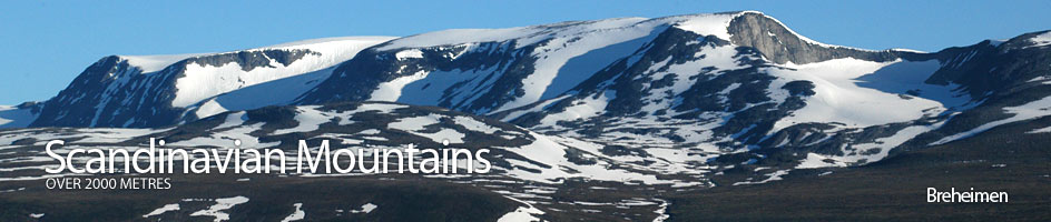
Scandinavian Mountains over 2000 metres - James Baxter
Areas › Breheimen › Lodalskapå › Alternative Routes
The best place to start an ascent of Lodalskåpa is from the accessible Bødalsæter cabin and this is described below. It is also to begin the ascent of Lodalskåpa from Jostedalen on the east side of the 70 km long Jostedalsbreen ice sheet . This route is just recommended for fit parties with significant glacial experience, as it is a very long day of 15 hours plus and the Småttene glacier can be very difficult and often impassable towards the end of the summer.
Park at Fåbergstølen and head north up the west side of the river across braided river flats and tangled birch into Stordalen valley. Follow the valley for about 10 km during which it becomes more moraine filled especially before the Lodalsbreen glacier snout. Climb up the glacial snout and ascend the gentle icy slope for two km with spectacular wall on each side of the glacier. At the top of this slope the steep and heavily crevassed Småttene glacier tumbles down from the west, under the steep south face of Lodalskåpa itself. During the spring the route up this uneven glacier is relatively easy but a rope is essential, however during the late summer the snow bridges and drifts spanning the crevasses have disappeared and the route is often impassable.
 Climb up Småttene for two km meandering through the ice formations until the ice becomes less fissures and the gradient eases. If you are not already on the north side of this now gentler glacier move over and head for a ridge which comes down from the north and disappears under the ice. This point is the smooth saddle, Ståleskardet, over to Bohrsbreen glacier on the west side of Jostedalsbreen ice sheet. Head for this ridge keeping at least 200 metres from the rock. This is because there is a deep wind formed channel between the rock and ice at the ridge with 30 metre ice cliffs which are topped with a cornice in the spring. During the spring and early summer this area is a very popular camping place for groups skiing the entire 70km length of Jostedalsbreen ice sheet.
From the saddle head north down the edge of Bohrsbreen glacier, keeping a respectful distance from the diminishing ice cliffs, for ½ km until the cliffs disappear and it is possible to go on land at the bottom of the stony slope to the east. This is where the route from Bødalsæter is met and the remained of the route to the summit is described below.