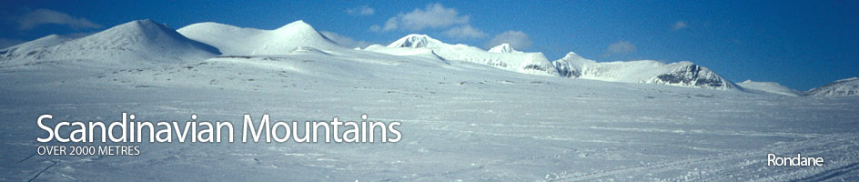
Scandinavian Mountains over 2000 metres - James Baxter
Areas › Rondane › 17.4 Midtronden (2060m)
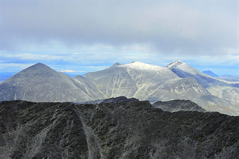
Midtronden, 2060 metres, is twin peaked mountain and lies in the middle of a massif flanked by the lower Digerronden to the west and the higher Høgronden to the east. Each of these two neighbouring mountains is connected to a different Midtronden peak by an rounded but deep saddle. However, the twin peaks of Midtronden are separated by a steeper notch in the ridge which although quite small involves some easy scrambling.
| The Route from Dørålseter Lodge | |
|---|---|
      |
|
Leave Dørålseter and follow the marked path to the summit of Høgronden as described on the Høgronden page, which takes about 4 hours.
At the summit of Høgronden do not follow the marked path down the south east ridge but go down the west ridge instead initially descending terraces of frost shattered sandstone steps. During the initial stages of this descent it is probably best to keep away from the lip at the top of the northern corrie as many of the slabs here are loose. The last section of the 340 metre descent to the saddle are on steep scree but otherwise quite straightforward. From the saddle there is an easy but sustained 270 metre climb up to the peak of Østre Midtronden, 2042 m, the lower of the two Midtronden peaks.
 The next stage of the traverse is the most interesting. Head south westwards along the flat ridge towards Vestre Midtronden for ½ km until the ridge starts to drop away quite steeply. At this steep 80 metre descent veer slightly to the south where the terrain is easier, but beware of dislodging stones. At the bottom of the descent cross the saddle and again keep slightly to the south to begin the ascent. This ascent looks more daunting from afar than it actually is. The sandstone here has been shattered into large steps, with each step about one metre wide and one metre deep. Progress up these steps (which are unusually stable for Rondane) is both swift and enjoyable and is not exposed in any place. After a few minutes the steps give way to a stable scree slope which is easily followed to the top.
The descent down to the next saddle involves an easy 200 metre descent on stable scree. Much of the descent is on fairly gentle ground with just a few less gentle sections which can not really be described as steep at all. At the saddle there is a small knoll to pass over before the final 180 metre ascent up to Digerronden. This ascent is not steep either and is covered in stable scree. Within ½ hour from the saddle you should have reached the summit cairn. The traverse from Høgronden to Digerronden should take just under 4 hours
 From here the descent to Dørålseter is as described on the Digerronden page. It is worth mentioning again though that the best descent is via the west onto the ridge of Salen and thereafter across the soft plateau of Vidjedalsflyi, rather than down the steeper north and north west sides, which are covered in loose scree.
It should also be noted that should the weather turn bad during the traverse an escape route to the north is not really an option. From the saddles the gullies are steep and loose. It is far better to bail out down the south side of the massif which offers descent possibilities along its entirety, even if this does entail a longer walk back to Dørålseter.