Scandinavian Mountains over 2000 metres - James Baxter
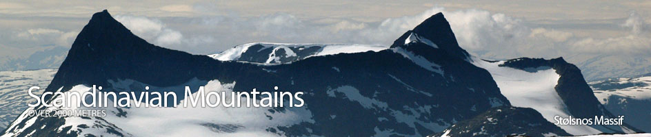
Areas › Stølsnos Massif › Walking Routes › St.2
| St.2 | Tyinholmen to Ingjerdbu via Fremre Hjelledalen cabin |
|---|---|
| 7 hours / 22km 530m |
Marked with cairns in the summer. |
Follow the rough construction road from Tyinholmen to Koldedalen cabin for 3 km to cross a bridge. After the bridge a path starts on the south side of the road. Take this path for ½km until you reach fork. Take the fork heading west, not south, and after passing under some powerlines start to traverse up a slope for 3km on the south side of the dark cliffs on Breidkvamsnosa to gain a large shelf at 1500m.
After here descend slightly to pass on the north of a series of lakes in a flat basin for 2km until the path starts to descend and veers north into the head of Hjelledalen Valley where there are good views north to Hjelledalstind and Koldedalstind.
Once in the valley the path turn west again and passes to the north of Hjelledalsvatnet Lake. The path then heads down the north side of the river for 4 km to a fork. There is an shorter unmarked path to the east of Øytjørn lake to Morkaskardet saddle but the marked path continues down the valley for a km until it crosses another path at the outflow of the Øytjørn lake.
Take the marked north fork at this junction past the west side of Øytjørn lake to the Morkaskardet saddle. Fremre Hjelledalen cabin is a further km downstream from this marked fork. From the saddle descend north through the birch forest, and then pine forest, for 3 km to reach the bridge over the Morka-Koldedøla river and Ingjerdbu cabin.