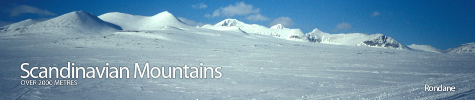
Scandinavian Mountains over 2000 metres - James Baxter
Areas › Rondane › Walking Routes › Ro.11
| Ro.11 | Lii to Høgronden |
|---|---|
| 5 hrs / 11km 1350m |
Seldom used path faintly marked. |
This path from Lii to the summit of Høgronden is seldom used and is quite faint in places. Park considerately at the southern end of the hamlet of Lii. From here a signposted path leads gently up through the forest high on the south bank of the Storbekken stream.
After 1½ km the forest gives way to birch scrub and the path veers south west across marshy ground for a km before meeting the Storbekken stream again. Ford the small stream to the west side and start to gently ascend eastern flanks of Storlgvasshø for three km keeping between the steeper slopes higher up and the marshy ground on the valley floor. The path then descends slightly under the steep south face of Storlgvasshø and fords the Rånåbekken stream.
After this stream the path ascends a gentle rock and lichen covered slope which extends for three km to the southwest in the direction of Høgronden. As the path approached much steeper north ridge of Høgronden it meets the marked and prominent path from Dørålseter to Bjørnhollia (Ro.12). Follow this marked path up the north ridge for over ½ hour to reach the summit.