Scandinavian Mountains over 2000 metres - James Baxter
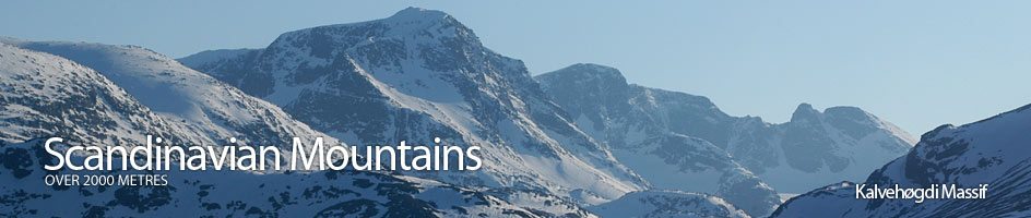
Areas › Kalvehøgdi Massif › 7.3 Nordre Kalveholotind (2019m)
Nordre Kalveholotind, 2019m, is the high point on an outlying southerly ridge from the immense east west orientated Kalvehøgdi ridge which really composes the whole of this massif.
| The Route from Torfinnsbu Lodge | |
|---|---|
      |
|
 From Torfinnsbu lodge take the path towards Bygdin for 150m until you have crossed the bridge over the river. From here leave the main track and follow a path north up the east side of the river. The path soon climbs onto a terrace where it continues for about one km across some sandy slips and across an obvious side valley carved out of the sandy moraine by a side stream.
It is probably best to cross this obvious side valley to the terrace on the north side, which can then be followed up (north west) for 300m until the terrace starts to steepen. Continue for another 250m, gaining 100m in elevation across steeper meadows interspersed with boulder fields. The terrain steepens again and the boulders are replaced by slabs, many of them slippery. Weave up through these slabs for another 200m gaining another 100m in elevation keeping north of an obvious buttress with a considerable amount of red rock until the gradient eases.
From this flatter area there is a long sloping gully initially filled with grass which forms from a funnel at the bottom of the gully. The gully rises in a northerly direction at an angle of about 40 degrees. It can be seen rising about 200m north of the south ridge skyline on the west side of the upper buttresses.
 The gully is about ½ km long and rises about 200 metres in elevation for its length. The lower half of the gully is grassy with a narrow steeper section not far above where the funnel at the bottom disappears into the gully itself. This narrower steeper section can be avoided on the north side across slabs, should it be filled with icy snow or otherwise slippery. The upper of the gully is filled with loose scree and stones, which are easy to dislodge, but is otherwise easy. At the top of the gully turn east to make a small rise to the east onto the west edge of a gently sloping plateau.
This plateau slopes up to the north east for one km to the summit. Initially the terrain is across a vegetation/rock mix which eventually gives way to boulders as the gradient steepens for the final ½ km, before arriving at the flat area on which the summit is located.
From the flat summit it is only a relatively flat three km to the summit of Kalvehøgdi. A trip across this high ridge covered in stable smaller boulders and back would be 2 hours at the most.
The return is by the same route. It is necessary to find the cairn marking the upper entrance to the gully. This cairn is located in the south west corner of the plateau and could be difficult to find in poor visibility.
