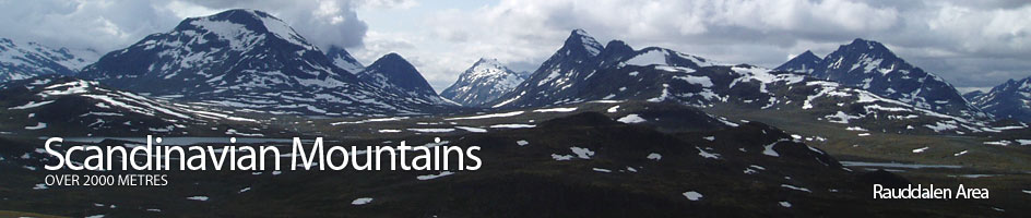
Scandinavian Mountains over 2000 metres - James Baxter
Areas › Rauddalen Area › Walking Routes › Ra.6
| Ra.6 | Gjendebu lodge to Olavsbu cabin via Rauddalen |
|---|---|
| 5-6 hours / 15km 500m |
Marked path in the summer and in the winter a ski route marked with twigs. |
Leave Gjendebu lodge and head west up the marked path Ra.3 for 300 metres to the first bridge over a branch of the Storåe river in its lush delta. Cross the bridge and then another one 200 metres later over another branch to cross a flat meadow for ½ km before entering the lush birch woods, thick with wild flowers. Continue up through the woods for another 2½ km until the trees become more gnarled and peter out into willow scrub under the imposing cliffs of Gjendetunga.
Here, there is a seasonal bridge to the south side of the river and wonderful views south to the alpine Slettmark massif. Continue up the marked path for another 2½ km across tundra now under the knobbly south side of Tungepiggan hill to arrive at a junction. The path, Ra.3, heading straight on goes to Fondsbu lodge, while you want the marked fork to the west which climbs up a small side valley between the Tungepiggan hill and Geithøi knoll for 1½ km to reach another junction beside a lake.
The unmarked south fork goes over the plateau and then drops steeply down to Fondsbu lodge on path Ra.11. The marked middle fork, Ra.5, continues due west up a smaller valley towards the massive bulk of Snøholstind and on to Skogadalsbøen lodge. The marked north fork is the one to take and this goes round the south west shore of the southern Grisletjørni lake under a bluff to reach the stony open windswept tundra. It takes surprisingly long to cross the 3 km of open tundra which very gently rises up to the lake at 1439m, which marks the eastern end of Rauddalen valley.
The marked path passes the stony south shore of the lake and then continues west through the U shaped valley for another surprisingly long 4 km crossing a barely noticeable watershed to reach the lake 1448m. This stretch would be somewhat tedious if it were not for the intimidating and very impressive south face of the Rauddalseggi ridge to the north and the steep dark north face of Snøholstind on the south.
Continue west along the north shore of this lake as the terrain becomes less stony and grass more common again. After this lake there is yet another, and then the path passes through a collection of tarns before gently arriving at Olavsbu cabin, some 3 hours after the last path junction.